 English
 Deutsch
 Français
 Italiano
 Español
 Português
 Ελληνικά
 Türkçe
 Dansk
Dansk Svenska
 Suomi
Suomi Nederlands
 Polski
 Čeština
 Magyar
 Slovenščina
 Afrikaans
 Română
 Ру́сский язы́к
 български език
 Cрпски језик
 Hrvatski jezik
 中文
中文

barakf \\ Live Track  [ 22-03-2025 ] -
 Mt. Tavor - IL [ ~ 0.0 km]
Start Distance km
0.93
Duration
0:45:56
Max km
0.98
Max Altitude m
0
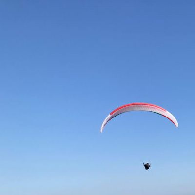
 Advance Omega ULS
Start
2025-03-22 12:08:18 UTC+2

 Mt. Tavor - IL [ ~ 0.0 km]
Last Position
2025-03-22 12:54:14 UTC+2
Mt. Tavor - IL [ ~ 0.1 km]
 Track was ended normally
Lat/Long:
32.68570 /
35.37278
Leaflet | Tiles © Esri — Source: Esri, i-cubed, USDA, USGS, AEX, GeoEye, Getmapping, Aerogrid, IGN, IGP, UPR-EGP, and the GIS User Community


